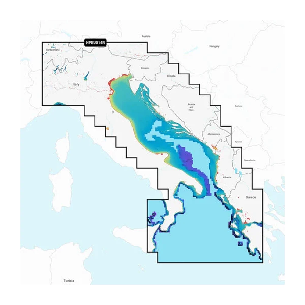
GARMIN Adriatic Sea map BlueChart g3 010-C1318-40

This digital chart covers the Adriatic Sea coastal region of Italy and is designed for use with Garmin navigation devices and GPS units. It provides detailed information on routes, coastal sections and...
In case you order today
Pickup in store: 03.11.2026. Tuesday
Home Delivery: 04.11.2026. Wednesday
Warranty
2 year factory warranty

89 790 Ft

Quantity
ADD TO THE CART

Product description

This digital chart covers the Adriatic Sea coastal region of Italy and is designed for use with Garmin navigation devices and GPS units. It provides detailed information on routes, coastal sections and key landmarks in the area, making it useful for both marine and land navigation.

The product is primarily intended for sea and land navigation. It suits anyone who wants to orient themselves safely and accurately along the Italian Adriatic coast. The updated chart data helps avoid navigation errors and makes route planning easier.

The chart is compatible with suitable navigation devices that support region-specific map updates. Installation is straightforward, and the chart is available in the format specified by the manufacturer, allowing smooth integration with compatible devices.
PRICE NOTIFICATION

30 days minimum
89 790 Ft
30 days maximum
91 890 Ft
Notify me if it will be cheaper then
Ft

NOTEBOOK SEARCH

OPINIONS

0.0

No opinions about this product

Help others. Tell us what you think about the item.
The information present here are the ones provided by the manufacturer. These can change without notice. Please inquire before the order, due to te fact that afterwards we cannot asume responsibility! The above images are illustrations. The product might differ in appearance. Our company has no item stock. The purchase is only possible after a previous order. The items list refers to our provider's stock.
Back to the top of the page