
Dear Visitor! We are carrying out maintenance this weekend, so our website may be slow or briefly unavailable at times. Thank you for your patience!
GARMIN Tread 2
255 789 Ft

Product description
RESISTANT DESIGN
This 15.2cm high-resolution device with a bright and glove-friendly display is designed to withstand extreme weather and temperature (IP67 dust/water resistance) during extreme adventures. The improved processor results in faster operation, including map drawing and route planning.
TURN-TO-TURN NAVIGATION
Turn-by-turn navigation on dirt roads and trails with OpenStreetMap™, the U.S. With Forest Service Motor Vehicle Use Maps and Adventure Roads and Trails maps1. Check out our North American coverage.
HEIGHT MAPS AND MORE
You can also venture far off-road with maps containing high-resolution digital topography data for dirt roads and snow trails, or you can use City Navigator® maps for road navigation. 1.
SATELLITE VIEW
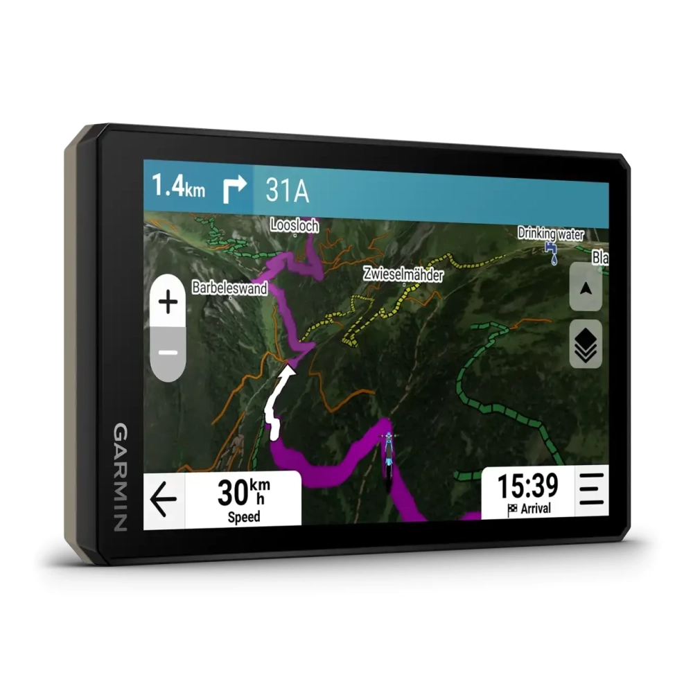
Download satellite images directly over Wi-Fi® to see routes and terrain in high resolution.
ROUTES IN SUMMER
Snowmobile trails in states of the USA and Canada, including places accessible by sled, such as gas stations, shelters, restaurants, and more. Coverage map.
OUTDOOR MAPS+
With an Outdoor Maps+ subscription, you always have access to premium map content, including slope angle, slope ratio, avalanche risk report and more. The service is not available everywhere! More details about Outdoor Maps+ content available for Tread devices.
intact and pre-installed maps for easy navigation.
PRICE NOTIFICATION
NOTEBOOK SEARCH

OPINIONS
0.0
