
Dear Visitor! We are carrying out maintenance this weekend, so our website may be slow or briefly unavailable at times. Thank you for your patience!
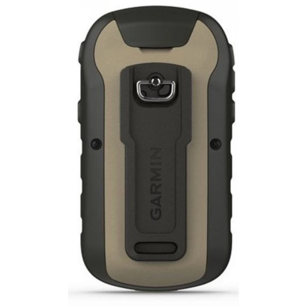
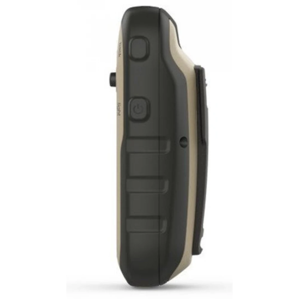
GARMIN eTrex 32x
Product description
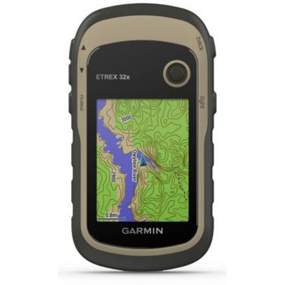
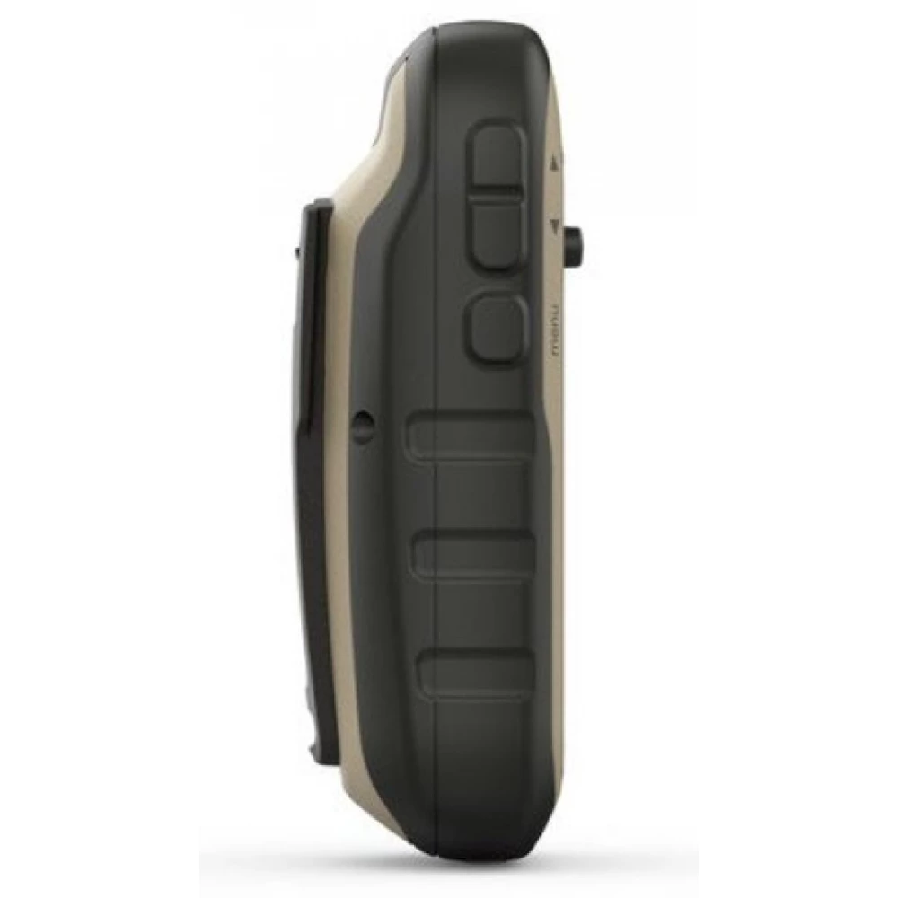
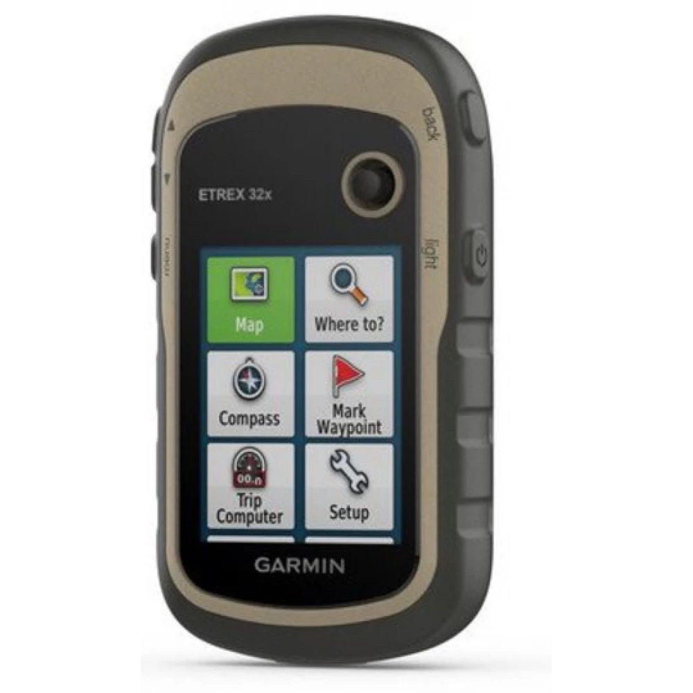
The eTrex 32x includes an advanced, 5.6 cm diagonal display with 65,000 colors that can be read even in sunlight. Waterproof and reliable, the eTrex 32x is designed to withstand the elements. Thanks to its easy-to-use menu system, you can spend more time traveling and less time searching for information. The eTrex 32x delivers legendary reliability. Dust, moisture, dirt, moisture or water cannot harm this navigator.
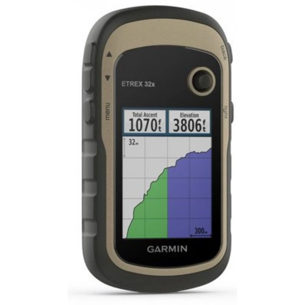
The eTrex 32x includes a three-axis compass that can be used at a tilt, with which you can clearly see the direction even if the device is not held horizontally. The built-in barometric altimeter monitors changes in air pressure, so you can determine your altitude more accurately. You can display the change in air pressure on a graph, so you can even estimate the expected change in the weather.
With a variety of mounts available, the eTrex 32x can be used on a bike, boat, off-road, or even in a car. With the car holder and a City Navigator NT® map, you can also use it for turn-by-turn navigation in the car. Use the rubber mount on a motorcycle or off-road vehicle, so wherever you go, the eTrex will accompany you everywhere.
The new eTrex series is the first commercial GPS that can track GPS and GLONASS satellites at the same time. The GLONASS system has been in service since 2012 and is operated by Russia. By using GLONASS satellites, positioning is on average 20 percent faster. If the device uses both systems at the same time, it can work with 24 more satellites.
Thanks to its microSD memory slot and built-in 8 GB memory, the eTrex 32x can receive many maps. Just plug in a boat BlueChart® g2 or a car City Navigator NT® map and you are ready to use. You can even upload topographic maps or enhance your device with BirdsEye™ satellite imagery.
The eTrex 32x can wirelessly transmit your waypoints, tracks, routes, and geocaches to other Garmin GPS users. Your friends can now easily take over your favorite tours or chest data - simply press the "Send" button, send the information to the users of the appropriate device and the game is ready to go.
It can be used right out of the box, as it contains the TopoActive Europe map database preloaded. Search for points and plan a route to them easily using the simple menu system.
Thanks to its high-sensitivity, EGNOS-ready, HotFix®-capable GPS receiver, the eTrex 32x determines the position quickly and precisely, and keeps it stable. The benefit of this is clearly visible. Whether it's under tall buildings or under dense vegetation, you can count on the eTrex 30 when it matters most.
The eTrex 32x supports geocaching GPX files, so the boxes can be loaded directly onto the device. Visit OpenCaching.com and start your geocaching adventures. Going paperless will not only protect the environment, but will also be more efficient. The eTrex 32x stores and displays the most important information, such as location, terrain, difficulty and tips per crate, so you no longer have to manually enter this useful information. Simply upload the GPX files to the device and you're ready to go.
- Higher resolution 240 x 320 pixel display for better readability
- 8 GB internal memory
- High sensitivity GPS and Glonass receiver
- Preloaded Europe topoactive map
- Barometric altimeter and electronic compass
- Size (W x H x D): 5.4 x 10.3 x 3.3 cm
- Display size: 3.5 x 4.4 cm; 5.6 cm image diagonal
- Display type: Transflective, 65 thousand color TFT
- Weight: 141.7 g
- Battery/operating time: 2 AA batteries (not included); NiMH recommended / up to 25 hours
- Water resistance: IPX7
- GPS receiver type: GPS/GLONASS
- Built-in memory/memory card: 8 GB, microSD slot
- Heart rate monitor: External HRM supported
- Map management: TopoActive Europe map, receive additional maps
- Resolution: 240 x 320 pixels
- Waypoints/Favorites/locations: 2000
- Routes/Trails: 200 / 10,000 tracks (200 can be saved)
- Barometric altimeter: Yes
- Compass: 3-axis
- Area measurement: Yes
- Automatic route planning (turn-by-turn): Yes
- Geocaching functions: Yes
- Custom Maps: Yes
- Hunter/Fisher database: Yes
- Sunset/Moonrise information: Yes
- Image viewer: Yes
- Wireless technologies: ANT+
NOTEBOOK SEARCH

OPINIONS
0.0
