
Dear Visitor! We are carrying out maintenance this weekend, so our website may be slow or briefly unavailable at times. Thank you for your patience!
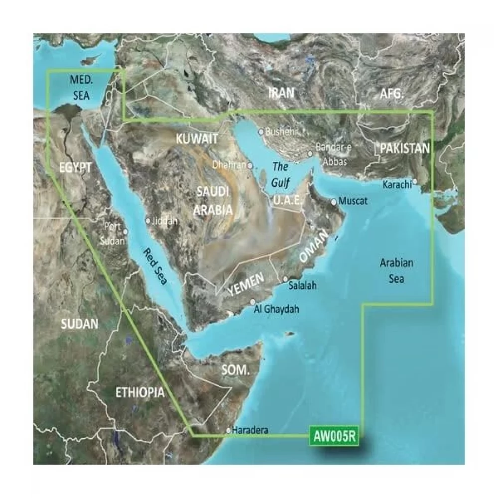
GARMIN The Gulf and Red Sea Coastal Charts BlueChart g3 (Perzsa-öböl and Vörös-tenger )
60 490 Ft
Product description
Data is taken from official charts and trusted sources to aid navigation, including local bathymetry, depth contours, tide and current information, and detailed harbor and sea data.
The shading of the depth ranges allows you to display up to 10 different depth levels, so you can see the desired depth at a glance.
Contour lines of up to 30 cm give a more accurate picture of the structure of the bed, improving fishing maps and navigation in marshes, canals and harbors.
The shallow water shading function allows you to shade the depth at a level you define, promoting safe navigation.
Worldwide coverage available.
PRICE NOTIFICATION
NOTEBOOK SEARCH

OPINIONS
0.0
