
Dear Visitor! We are carrying out maintenance this weekend, so our website may be slow or briefly unavailable at times. Thank you for your patience!
GARMIN GPSMAP 1223 chartplotter szonár without
1 116 291 Ft
Product description
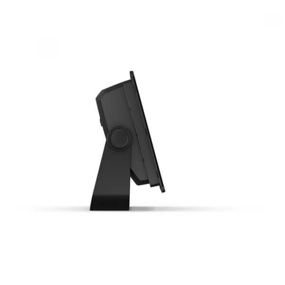
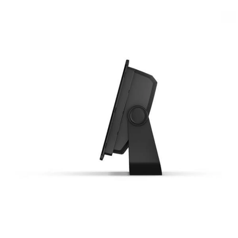
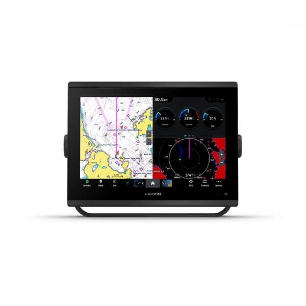
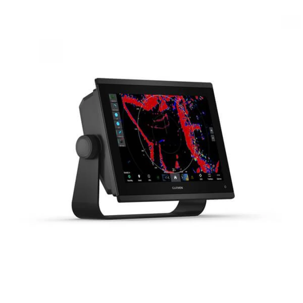
The high-performance Garmin GPSMAP device has a 12.1-inch WXGA resolution touchscreen that provides excellent visibility in all lighting conditions. Its robust, IPX7 water-resistant housing and its weight of 3 kilograms provide an ideal solution for marine environments as well. Multiple mounting options – cantilevered, recessed or flat – ensure that the device fits perfectly into any deck design.
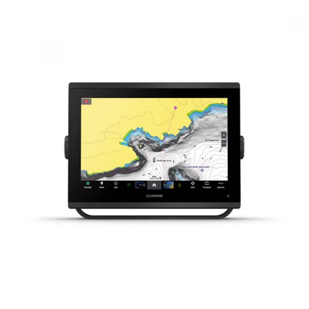
GPSMAP supports advanced navigation systems including GPS, GLONASS and Galileo satellites and has a built-in 10 Hz receiver for fast and accurate positioning. The device is compatible with NMEA 2000 and NMEA 0183 networks, supports WAAS correction and can be connected to several map systems such as BlueChart g3, LakeVü g3, Garmin Navionics+ or TOPO 100K. By saving up to 5,000 waypoints and 100 navigation routes, it provides full navigation support for navigation.
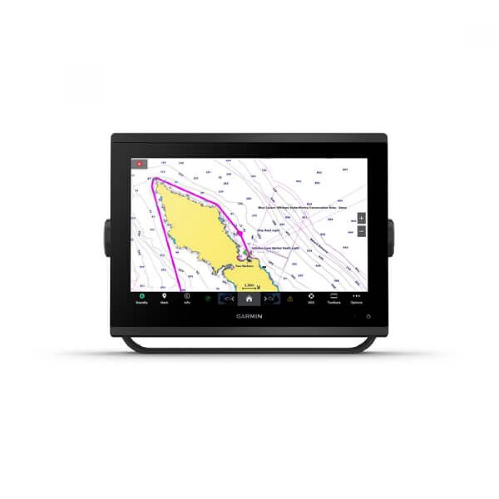
The system offers many expansion options, including support for GSD and GCV sonar modules, Panoptix™ and LiveScope functions, and Fusion-Link™ compatible sound systems. Built-in Wi-Fi, Bluetooth and ANT connectivity allow for wireless communication and integration with other Garmin devices, while being controlled remotely using the ActiveCaptain® app. Thanks to the energy-efficient design of the device, it operates in the 10-32 V voltage range, with a maximum consumption of only 26.5 W.
General data:
- Size: 30.8 × 22.8 × 8.2 cm
– Weight: 3.0 kg
– Water resistance: IPX7
– Display type: WXGA, touch screen
– Display size: 12.1” diagonally (26.2 × 16.3 cm)
– Resolution: 1280 × 800 pixels
– Mounting options: cantilever, recessed or flat (the latter requires a separate tool and expertise)
Maps and Memory:
– microSD card slot: 2 pcs
– Waypoints: 5000
– Track Points: 50,000
– Saved tracks: 50
– Navigation routes: 100
Satellite systems and sensors:
– GPS, GLONASS and Galileo support
– Built-in 10 Hz receiver
– WAAS support
Compatible maps:
– BlueChart g3 / BlueChart g3 Vision
– LakeVü g3 / LakeVü g3 Ultra
– Garmin Navionics+ / Navionics Vision+
– TOPO 100K
– Standard Mapping
– Garmin Quickdraw Contours
– Raster map support
Connections and network:
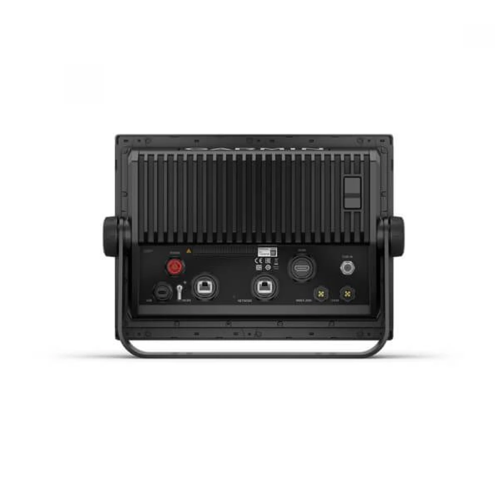
– NMEA 2000 port: 1
– NMEA 0183 input/output: 1/1
– Video input: 1 (BNC composite)
– Video output: 1 (HDMI)
– Garmin Marine Network port: 2
– USB port: yes
– J1939 port: 1
– Bluetooth, ANT and Wi-Fi connection: yes
Other features:
– Compatible with ActiveCaptain®, OneHelm and Fusion-Link™
– GSD and GCV sonar support (with separate unit)
– Traditional, ClearVü and SideVü sonar support
– Panoptix™ and LiveScope compatible
– Current consumption: 1.67 A (average), 2.159 A (max at 12 V)
– Supply voltage: 10–32 V DC
– Maximum power: 26.5 W
PRICE NOTIFICATION
NOTEBOOK SEARCH

OPINIONS
0.0
