
Dear Visitor! We are carrying out maintenance this weekend, so our website may be slow or briefly unavailable at times. Thank you for your patience!
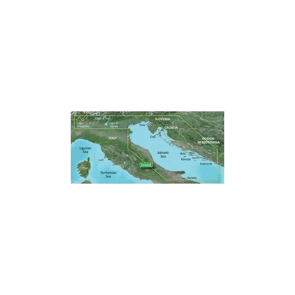
GARMIN Adriai-tenger north partvidéke map BlueChart g3
Provides industry-leading coverage, clarity and detail with updated coastal charts that include integrated Garmin and Navionics® data
The shading of the depth ranges allows you to display up to 10 different...
In case you order today
Pickup in store: 21.10.2026. Wednesday
Home Delivery: 22.10.2026. Thursday
Warranty
The specified warranty is for one item. In case of multiple items, this may change.
2 year factory warranty
97 591 Ft
Quantity
Product description
Provides industry-leading coverage, clarity and detail with updated coastal charts that include integrated Garmin and Navionics® data
The shading of the depth ranges allows you to display up to 10 different depth levels, so you can see the desired depth at a glance.
Contour lines of up to 30 cm give a more accurate picture of the structure of the bed, improving fishing maps and navigation in marshes, canals and harbors.
PRICE NOTIFICATION
30 days minimum
97 591 Ft
30 days maximum
99 891 Ft
Notify me if it will be cheaper then
NOTEBOOK SEARCH

OPINIONS
0.0
Total 0 reviews

No opinions about this product
Help others. Tell us what you think about the item.